Production Landscape
This series explores the evolution of a production landscape within the Bakken region of western North Dakota and the lands surrounding the Dakota Access Pipeline. New developments in hydraulic fracturing and horizontal drilling technologies resulted in one of the largest natural resource development booms in the twenty-first century within this remote area of northwestern North Dakota made up of large ranches and national parks. The increased rate of oil and natural gas extraction led to the construction of the Dakota Access Pipeline (DAPL), which drew national attention after protests from members of the Standing Rock Sioux tribe and numerous Native and non-Native supporters. The DAPL now transports around 500,000 barrels of oil each day.


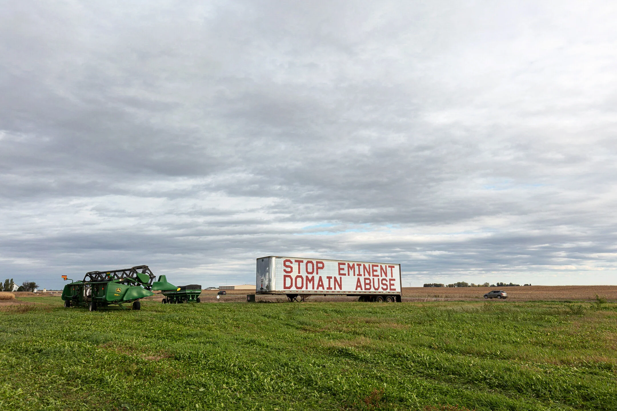


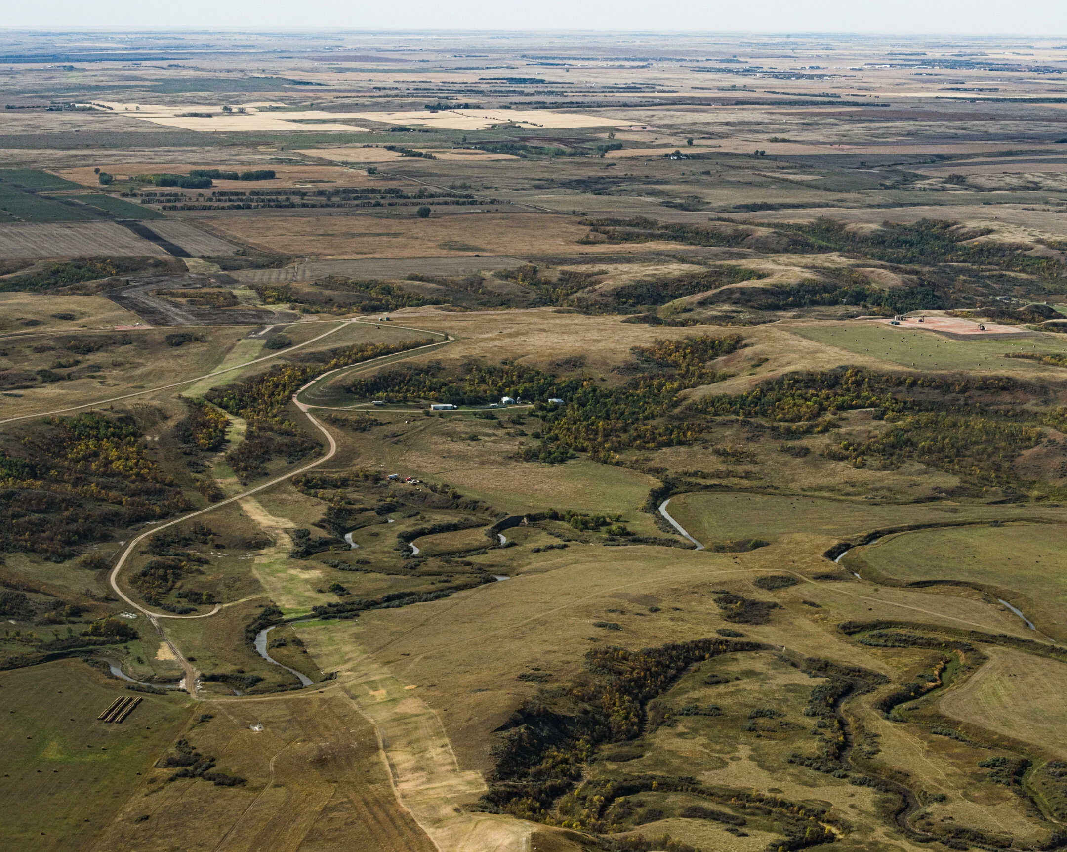


The United States has the largest network of pipelines in the world, which form a subterranean industrial landscape. J.B. Jackson describes a landscape as “a ‘synthetic’ space, a man-made system of spaces superimposed on the face of the land, functioning and evolving...a composition of man-modified spaces to serve as infrastructure or background for our collective existence.” The Bakken region has been developed for agricultural and energy production since the late nineteenth-century. During the most recent boom, however, oil and gas companies reshaped the landscape at unprecedented scale. New roads, well-pads, and unfinished housing developments now stand in place of open fields. Hundreds of miles of new pipelines -- including large stretches of the 1,172 mile Dakota Access Pipeline -- are now etched into area landscapes.
Over a five-year period I explored the Bakken region and the path of the Dakota Access Pipeline in the four states it crosses: North Dakota, South Dakota, Iowa, and Illinois. As a native New Englander and someone who benefits from the oil and gas resources extracted in the Bakken, but who lives at a distance from its source, I wanted to see its impacts on local environments, communities, and economies. Further, I wanted to inform myself of the scale of the project and view the range of agricultural landscapes reshaped by the pipeline and its operation.
By providing a ground-level view of environments impacted by pipelines in this series I use landscape photography to question the nature and extent of social and environmental costs of this activity. The resulting photographs explore this growth within the context of a land set aside for resource development. The series asks what it means to show the impacts of small and large changes -- dust, traffic, new construction, loss of open horizons, pipeline construction -- that combine to transform a landscape, a region, and a home. Further, it seeks to contextualize the ongoing public discussion of resource extraction by visualizing which places bear the costs of oil and gas economies.